You can contact us with the problem you are having and we will investigate.
Stripe Online Payments
Sellingantiques have now partnered with Stripe card processing to give you a seamless purchase experience of antiques on sellingantiques.
Millions of companies of all sizes use Stripe online to accept payments and is the worlds No.1 payment gateway.
So how does it work: Look for the button in the antique details page to instantly purchase antiques from dealers who have activated Stripe online payments.
You can now easily filter and show antiques that only have this option enabled.
Using this button notifies us immediately that you have purchased this item. Once you have made the payment we will instantly mark it as sold to ensure that no one else can buy it.
Discounts can also be made available.
We are always improving the purchase experience for both buyer and seller and more and more dealers are enabling this option each week.
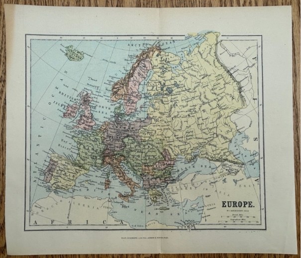
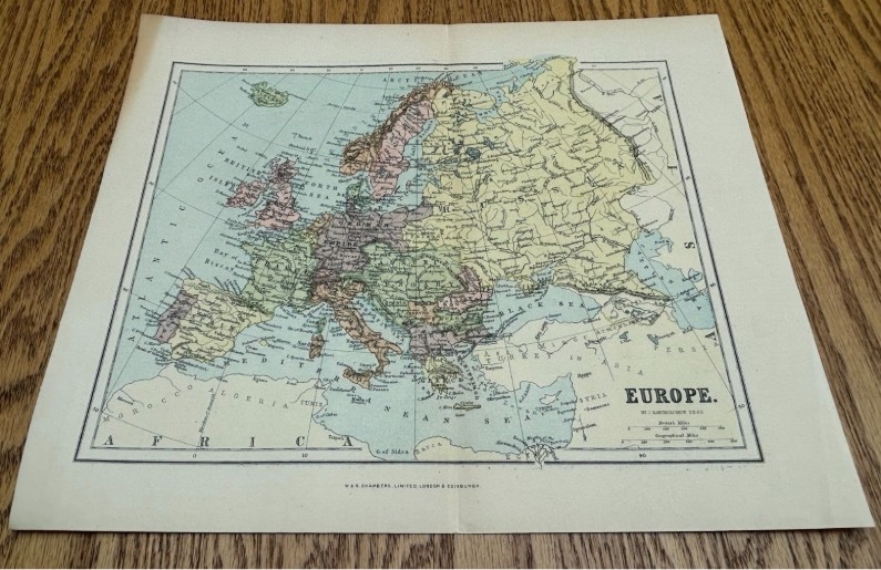
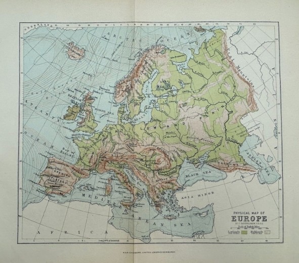
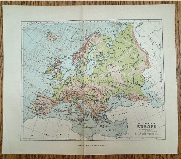
Original Antique C1890 Bartholomew Europe Double Sided Map W&r Chambers Colour Political & Physical Map
£20 $27 €23
Shipping: EEA Area £0North America £0
Item Number:SA1237443 Date of manufacture:19th Century Current Status: For sale Seller:Strickland & Russell
Purchase Item # SA1237443 Now direct from Strickland & Russell.
Strickland & Russell can accept payment for this antique via Credit / Debit card, Amex or Google Pay
£20
PURCHASE ANTIQUE
Your credit card is processed securely by Stripe Inc.
Description
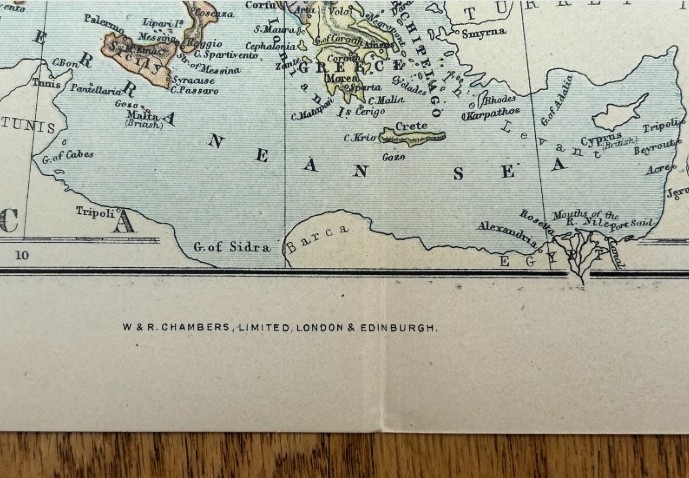
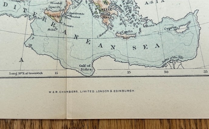
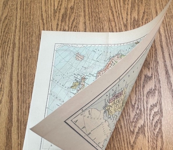
Type of Artwork: Original 19th Century Double-Sided Antique Map Title: Europe / Physical Map of Europe Date of publication: Circa 1890. Exact edition unconfirmed. Surface: Paper, double-sided printed maps with colour. Details: An original antique double-sided map by J. Bartholomew, F.R.G.S., published by W. & R. Chambers, Limited, London & Edinburgh. One side shows a political map of Europe with countries, cities, rivers and national boundaries. The reverse is a Physical Map of Europe showing mountain ranges, lowlands, highlands, rivers and surrounding seas. An attractive Victorian map with the unusual benefit of two different European maps on one sheet. Condition Report: Good antique condition. Original vertical centre fold with light age-related toning, handling wear and minor spotting. Some light edge and margin wear. Both maps remain colourful, clear and highly legible. Supplied unframed. Please inspect photographs for full details. size 31 x 27 cm *************** *Our prices include fully insured UK delivery. We are able to quote for International delivery upon request. *Your purchased painting will be securely packaged and posted via Insured Royal Mail or Parcelforce delivery within 2 working days of receiving payment. *We are happy to receive payment via the PayPal platform which accepts most debit and credit cards. Please contact us to enquire about other payment methods. *If a painting is framed, the frame will be provided free of charge and we cannot offer any warranty for the condition or damage to a frame as a result of delivery. Original frames will have wear in line with age. We consider glass to be part of the frame, and as a restricted item is not warranted . Glass can be removed prior to shipping at the buyers request. *In the unlikely event that you are not happy with your purchase, for any reason, we will always accept returns and offer a no quibble refund if notified within 14 days of receiving the item and returned to us in the same condition. The buyer is however, liable for the return postal charges. ***************
Declaration
This item is antique. The date of manufacture has been declared as 19th Century.
Dimensions
Height = 27 cm (10.6")
Width = 31 cm (12.2")
Depth = 0.02 cm (0.0")
Thank you.
Your comment has been sent to Sellingantiques.